

Tongue River Canyon Trail: The Complete Local Guide
The canyon is narrower than the photographs. That sounds like praise, and it is.
The canyon is narrower than the photographs. That sounds like praise, and it is. The walls at the tightest section, around mile 1.5, close to a width where you can touch both sides if you spread your arms. The limestone has been shaped by water for longer than there have been people to notice it.
Finding the Trailhead — There Is No Sign
The pull-off for Tongue River Canyon has no sign. It's on the right side of Hwy 14 heading west, about 200 yards past the guardrail where the road briefly straightens. You'll know it by the other trucks.
Drive Hwy 14 west from Sheridan toward Dayton. Twenty minutes. The trailhead is a dirt pull-off that holds maybe 15 vehicles. On a Saturday morning in July, arrive by 8am or you'll be parking on the shoulder. On a Tuesday in September, you'll have it nearly to yourself.
The Trail — What the Map Doesn't Show
The trail follows the Tongue River upstream through a limestone canyon. The first mile is pleasant — the river on your left, cottonwoods providing shade, the canyon walls rising gradually. You'll think it's nice. You'll wonder what the fuss is about.
At mile 1.5, the canyon narrows. This is where the photographs are taken, and where the photographs lie. The walls are taller than they look on any screen — several hundred feet of red and grey limestone, shaped by millennia of water. The light changes. The sound changes. The river echoes off the walls in a way that creates a kind of natural amphitheater. This is the canyon. Everything before was the approach.
The second time you hike Tongue River Canyon is better than the first. You stop looking at the walls and start watching the water.
— Wyo Stays Team
| Detail | Info |
|---|---|
| Total distance | 7 miles out-and-back |
| Short option | 3–4 miles to the narrows and back |
| Difficulty | Moderate |
| Elevation gain | ~400 feet total |
| From downtown Sheridan | 20 minutes on Hwy 14 west |
| Parking | Dirt pull-off, no sign, 15 vehicles max |
| Dogs | Welcome on leash |
| Water | Bring 2L minimum (3L in summer) |
| Best time | Before 9am in July/August; anytime in September |
| After the hike | Black Tooth Brewing, 15 min back in Sheridan |
Seasonal Conditions — An Honest Assessment
Summer (Jun–Aug)
Start before 9am — canyon traps heat
Bring 3L water minimum
River cold enough to gasp in August
Weekends: crowded by 10am
Best wildflowers late June
Fall (Sep–Oct)
Any start time works — cooler all day
2L water is sufficient
Aspens turning gold in canyon
Weekdays: you'll have it alone
Best overall hiking conditions
Spring (April–May): The trail can be partially flooded during snowmelt and spring runoff. The river runs high, fast, and silty. Some sections of the trail may be underwater. Check conditions before going — or save it for summer.
Winter (Nov–March): The trail is accessible in winter but conditions vary dramatically. Ice on the trail. Snow on the canyon walls. The river runs low and clear. The canyon in winter is quieter and more dramatic than summer — but dress for it and bring traction devices for your boots.
Spring Runoff Warning
Avoid the Tongue River Canyon trail during spring runoff — typically late May through mid-June. The river runs high, fast, and dangerous. Sections of the trail may be underwater. Wading or swimming in the canyon during runoff is genuinely life-threatening. Check with the Forest Service or the Fly Shop of the Bighorns for current conditions.
Outside of runoff, swimming is possible in some of the canyon's deeper pools — the water is cold year-round, fed by mountain snowmelt, so it's better suited to wading and rock-hopping than a proper swim. There are no designated swimming areas, so use your judgment on current and depth.
The Steamboat Trail Connection
The Steamboat Trail accesses the high plateau above the canyon wall. It's a separate trailhead (not connected to the canyon trail from below) and offers a completely different perspective — looking down into the canyon from above. The views are exceptional. The trail is moderately difficult with more elevation gain than the canyon trail.
One caveat: the Steamboat Trail is not worth it in wet weather. The clay section above mile 2 turns into a skating rink that will have you sitting down more than hiking. Save it for dry conditions. The canyon trail below handles rain better because the rocky footing provides traction even when wet.
What Makes This Canyon Different
Wyoming has canyons. The Wind River Range has dramatic slot canyons. Yellowstone has its own canyon — a famous one. What makes Tongue River Canyon structurally different is the proximity. Twenty minutes from a genuine downtown with restaurants, shops, and a functioning Main Street. The transition from town to wilderness is almost jarring. You can eat breakfast at Java Moon, be in the narrows by 9am, and be drinking a Saddle Bronc Brown at Black Tooth by noon. If wine's more your speed than beer, Tongue River Winery is nearby too.
That proximity is what Sheridan guests talk about most. Not the canyon itself — which is remarkable — but the fact that the canyon is 20 minutes from their front door. In most places, access like this requires a 2-hour drive, a permit, and a packed lunch. Here it requires 20 minutes on a highway and a pair of boots.
Frequently Asked Questions
The Tongue River Canyon Trail is approximately 7 miles out-and-back (3.5 miles each way). You can turn around at any point. The most popular shorter option is hiking to the first canyon narrowing around mile 1.5–2, which gives you the most dramatic scenery in the shortest distance. Allow 1.5–2 hours for the short version, 3–4 hours for the full trail.
Drive Hwy 14 west from Sheridan toward Dayton. Approximately 20 minutes from downtown, the trailhead is on the right side of the highway where the road briefly straightens before a curve. There is no sign. Look for the other trucks parked on the shoulder — that's the trailhead. GPS coordinates are approximately 44.7833° N, 107.0833° W.
Yes, dogs are welcome on leash. The trail has several river access points where dogs can drink and cool off. Keep your dog leashed — the canyon has wildlife including rattlesnakes in summer. Bring extra water for your dog, especially in July and August when the canyon traps heat.
Late June through October for the best conditions. In July and August, start before 9am — the canyon traps heat by noon and the return hike at midday feels like a different trail. September and early October are ideal: cooler temperatures, fall color starting in the aspens, and fewer hikers. Avoid spring runoff (late May–early June) when the river runs high and sections of the trail may be flooded.
Moderate difficulty. The trail is mostly flat along the river bottom with some rocky sections and minor elevation changes. The difficulty comes from length (7 miles round trip), heat in summer, and rocky footing in places. Anyone in reasonable shape can do the short version to the narrows and back. The full trail is a solid half-day commitment. Bring proper footwear — not sandals — and at least 2 liters of water.
Also consider
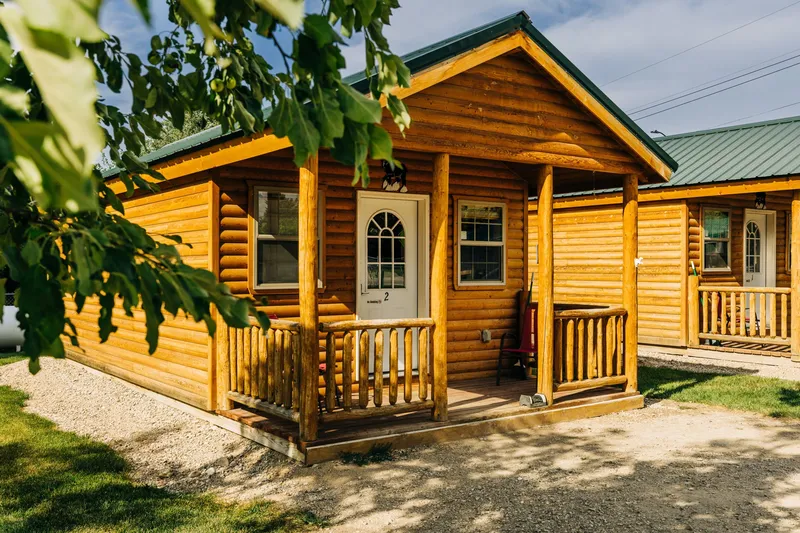
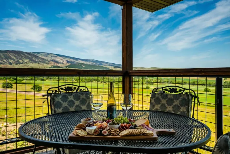
Stay 20 Minutes from the Canyon
Downtown Sheridan properties put you a 20-minute drive from the trailhead. Mountain properties put you even closer.
Browse Properties