Best Hikes Near Sheridan, Wyoming: Tongue River to Cloud Peak
July 18, 2026 · 8 min read · Wyo Stays Journal
There's a moment about a mile up the canyon, right where the road gives out and the trail takes over, when the walls close in and the sky narrows to a blue ribbon a thousand feet overhead. The river runs cold and loud beside you, swallows cut the air, and the noise of everything you drove up here to leave behind simply stops. Most travelers blow past this on their way to somewhere with a bigger name on the map. That's their loss, and your gain.
The Bighorns have a way of rewarding people who slow down. The range rises straight out of the plains just west of town, and within a half hour you can trade a coffee on Main Street for a trail that climbs into limestone, pine, and eventually granite above the treeline. If you know which trails to pick — and you're about to — the best hikes near Sheridan, Wyoming range from a fifteen-minute stroll to the highest summit in the range, all inside an hour's drive.
The short version: Tongue River Canyon Trail, 25 minutes from downtown Sheridan, is the best easy-to-moderate hike close to town — dramatic limestone walls and a riverside path you can turn around on anytime. For high country, Steamboat Point and Black Mountain Lookout deliver huge views off the Bighorn Scenic Byway, and Cloud Peak (13,167 ft) is the trophy full-day summit for fit hikers.
Why Sheridan is a hiker's basecamp
Most visitors treat Sheridan as a fuel stop between more famous places. Locals know it as the front door to an entire mountain range. The Bighorns wall off the western horizon, and two paved routes — U.S. 14 up through Dayton and the Bighorn Scenic Byway climbing toward Burgess Junction — put dozens of trailheads within forty-five minutes of downtown.
That access is the whole advantage. You can sleep in a real bed, eat a real breakfast, and be lacing up at a trailhead before the day heats up — then be back in town by dark. No four-hour approach drive, no permit lottery. Just a range that runs from cottonwood bottoms to alpine tundra, and the time to explore it at whatever pace suits you.
Tongue River Canyon: the one everyone should do
If you hike one trail near Sheridan, make it the Tongue River Canyon Trail. The drive is short — head to Dayton, turn up the canyon road, and in about twenty-five minutes from downtown you're at a trailhead where sheer limestone cliffs rise straight out of the river. The path follows the water upstream, gentle at first, and you can walk as little or as far as you want.
The first mile or two is doable for almost anyone — families, casual walkers, a quick sunrise loop before breakfast. Push farther and the trail climbs steadily up the canyon toward the high country. Watch the cliff faces for rock climbers and, if you're lucky, bighorn sheep picking their way across ledges that look impossible.
Local tip — Go early. The canyon runs roughly east-west, so morning light pours straight down it and the walls glow gold. By midafternoon the lower canyon bakes, and the parking area fills on summer weekends. First light is the whole show.
This is also the trailhead for longer objectives deeper in the range, so it works whether you've got ninety minutes or a whole day. Bring more water than you think you need — the canyon is drier and hotter than the numbers suggest.
Up the byway: Steamboat Point and Black Mountain Lookout
When you want altitude and a view without a full expedition, drive the Bighorn Scenic Byway (U.S. 14) up out of Dayton. About forty-five minutes from Sheridan, Steamboat Point rises off the highway — a blunt prow of dolomite that gives the peak its name. The scramble to the top is short but steep, maybe a mile with real elevation, and the payoff is a raw, wind-scoured overlook of the plains stretching east toward Montana.
Farther along, the Black Mountain Lookout trail climbs to a staffed fire tower at just over 9,500 feet. It's a moderate few-mile round trip through spruce and open meadow, and on a clear day the summit lays out the whole northern Bighorns — you can pick out Cloud Peak's snowfields on the horizon. On the right afternoon a lookout will wave you up onto the tower catwalk for a 360-degree view that puts the entire range at your feet.
Both of these are the sweet spot for a lot of travelers: real mountain hiking, genuine views, and you're back at the car in a few hours with plenty of day left.
Cloud Peak: the trophy summit
For the fit and prepared, there's Cloud Peak — at 13,167 feet, the highest point in the Bighorns and the crown of the Cloud Peak Wilderness. The classic approach starts from the West Tensleep trailhead on the range's western side, roughly a two-hour drive that loops around through the mountains. The full round trip runs about 22 miles with some 4,700 feet of gain, threading past alpine lakes before the final grind up a granite boulder field to the summit block.
Most people backpack in, camp near Misty Moon Lake, and summit fresh on day two. Very strong hikers push it as one enormous day. Either way, this is a serious mountain: thin air, no shade, a talus scramble near the top, and weather that turns violent fast. Summit early and be off the high ground before the clouds build — the peak earns its name most afternoons. You don't need Cloud Peak to have a great trip, but if you want the whole range under your boots, this is the one you'll tell stories about for years.
Stay Nearby
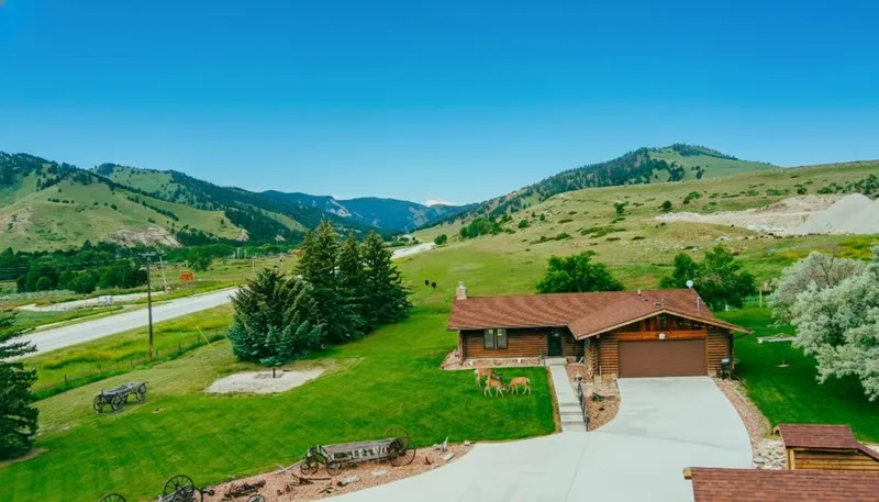
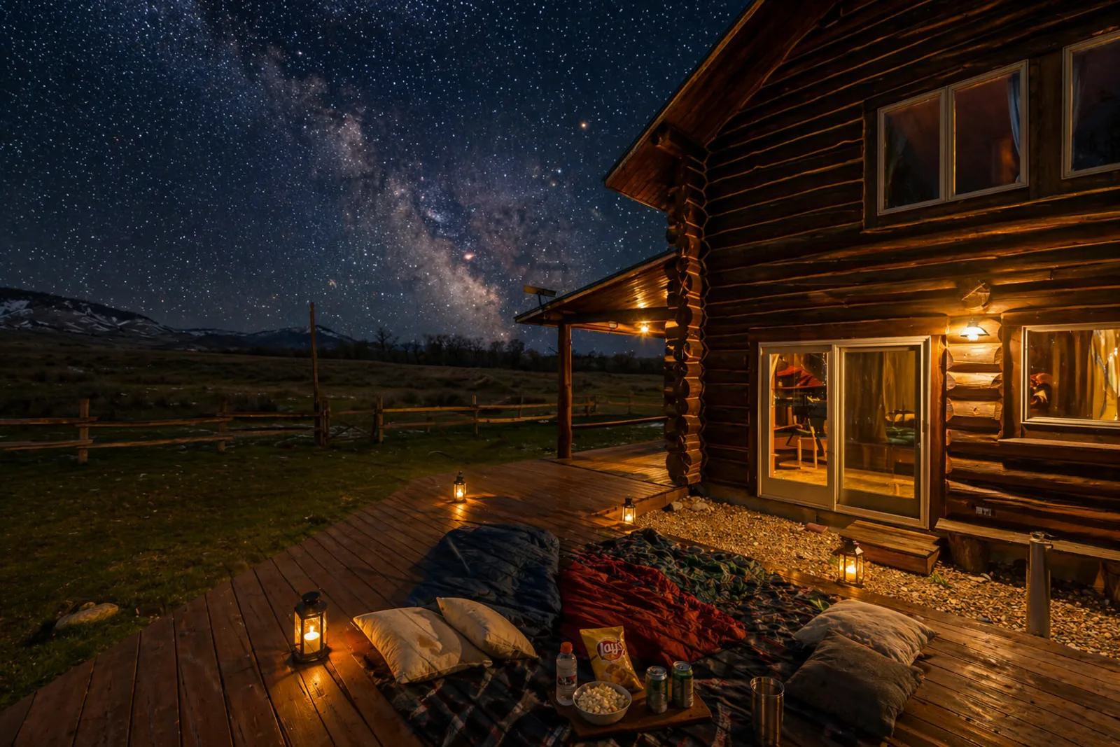
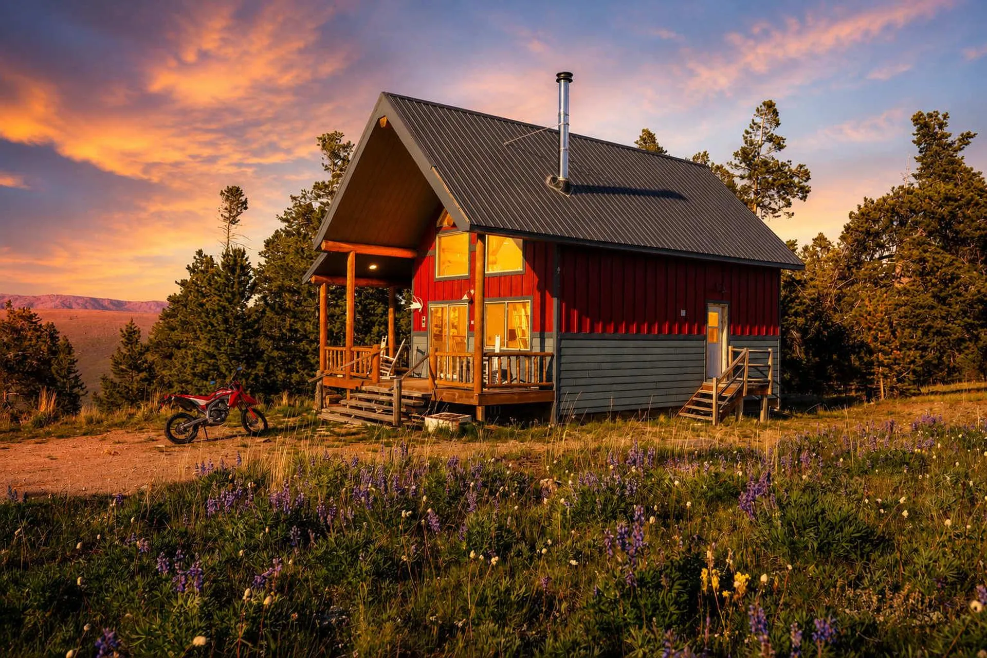
Here's where I'd sleep. For the Tongue River Canyon and the Dayton-side trailheads, a cabin right in the mountains puts the trail minutes from your door — walk out with coffee, catch the morning light in the canyon, and be back before the day gets hot. The entire cabins along the Big Horn Mountains Scenic Byway sit right on the route up to Steamboat Point and Black Mountain, so the byway hikes are practically your backyard.
If you'd rather be tucked inside the national forest itself, browse the Bighorn National Forest stays — the kind of place where you fall asleep to wind in the pines and wake up already at altitude, acclimating for the bigger climbs. Every one of these is a vetted Wyo Stays property, managed by a licensed, insured Wyoming vacation rental brokerage — which in plain terms means a real local team you can actually call, not a listing you cross your fingers on.
Practical tips from someone who hikes it
- Start early, always. Bighorn afternoons breed thunderstorms that build in minutes and throw lightning across exposed ridges. Be summiting by late morning and heading down by early afternoon.
- Bring more water than the mileage suggests. The canyon bakes and the high country is dry. Two liters minimum for a half day; treat or filter from creeks on longer routes.
- Layer for two seasons. It can be seventy in Sheridan and thirty-eight with wind on Cloud Peak the same July morning. A shell and an insulating layer belong in every pack up here.
- Respect the altitude. Trailheads on the byway sit near 8,000 feet and climb from there. Give yourself a day or two in the mountains before you attempt anything above treeline.
- Check conditions and permits. Day hikes need no permit; overnight trips into the Cloud Peak Wilderness require a free self-issued permit at the trailhead. Confirm fire restrictions with the Bighorn National Forest before you go.
- Leave it wild. Pack out everything, stay on trail in the alpine, and keep your distance from the bighorn sheep and moose. This country stays this good because people treat it that way.
After a day on the trail, downtown Sheridan is waiting. A cold pour at Black Tooth Brewing Company is the correct reward for tired legs, and if you're moving slow the next morning, brunch and a strong coffee at Luminous Brewhouse will put you back together before the drive up for round two.
If you'd rather someone else handle the details, our local concierge can match a trail to your fitness and the forecast, point you to the trailhead that's clear of snow this week, and pack you a summit lunch — just ask the Wyo Stays Concierge when you book. Chasing water instead of summits? Our guide to fly fishing the Tongue River and the Bighorns covers the best creeks in the range. And when the snow flies, winter in the Bighorns at Antelope Butte turns these same mountains into a ski-and-cozy-cabin escape.
Frequently asked questions
What are the best hikes near Sheridan, Wyoming? The Tongue River Canyon Trail is the marquee hike close to town, about 25 minutes from downtown Sheridan. For higher country, Steamboat Point and Black Mountain Lookout deliver big views along the Bighorn Scenic Byway, and Cloud Peak — the range's 13,167-foot summit — is the trophy full-day objective for fit hikers.
How hard is the hike to Cloud Peak in the Bighorn Mountains? Cloud Peak is strenuous. The common route from the West Tensleep trailhead runs roughly 22 miles round trip with about 4,700 feet of gain to the 13,167-foot summit. Most hikers backpack in and summit on day two, though very fit parties do it in one long push. Altitude, boulder fields, and afternoon storms make it a serious day.
Is Tongue River Canyon a good hike for beginners? Yes. The trail starts just past Dayton, about 25 minutes from Sheridan, and you can turn around whenever you like. The first mile or two is gentle and dramatic, with towering limestone walls and the river beside you — ideal for families or a quick morning outing.
When is hiking season in the Bighorn Mountains? High-country hiking runs mid-June through September once the snow clears. Lower trails like Tongue River Canyon open earlier and hold into October. July and August are prime for Cloud Peak and the alpine lakes — but start early to beat the afternoon thunderstorms.
Do you need a permit to hike near Sheridan, Wyoming? Day hikes on Bighorn National Forest trails need no permit. Overnight trips into the Cloud Peak Wilderness require a free self-issued permit available at the trailheads. Always check current conditions and fire restrictions with the Bighorn National Forest before you head up.
The Bighorns don't hand their best country to people in a hurry. But spend a morning in the Tongue River Canyon, an afternoon on a byway summit, and one hard, glorious day toward Cloud Peak, and you'll understand why the people who live here never feel the need to hike anywhere else. When you're ready to plan the trip, Book Direct — No Channel Fees — and book direct with Wyo Stays along the Bighorn Scenic Byway. And if you own a cabin near this kind of country and have ever wondered what it could earn, here's what your property could do with the right local team behind it.